The development of floating offshore wind farms (FOWFs) opens up new horizons for the global energy sector.
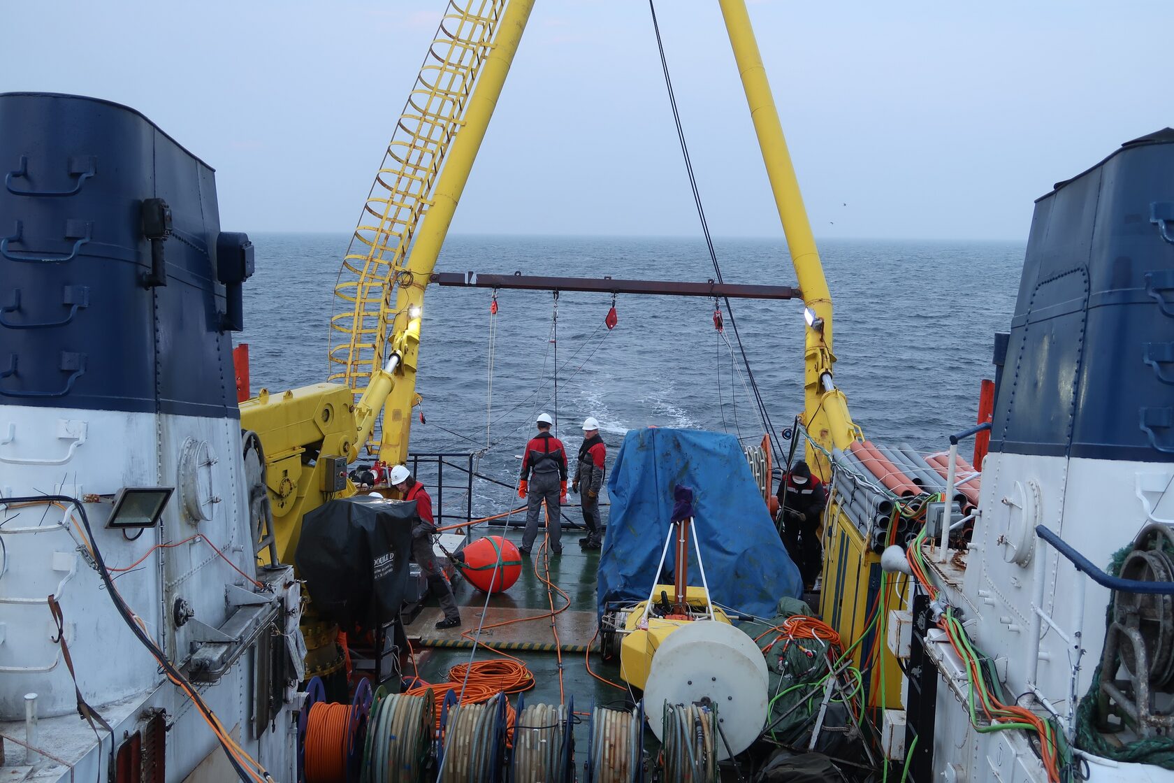
Long before designers even begin working on a model of a future wind power plant, geophysical teams are already on site. Their goal is to collect detailed information about the seabed, soil structure, geological hazards, and potential anomalies.
For floating wind farms, not only the mooring points are critical, but also the stability of the entire subsea infrastructure: cable routes, anchoring components, and service nodes. As a result, geophysical surveys cover large areas and are carried out at high resolution.
What exactly do geophysicists look for?
Geophysics and cable routes
Subsea power cables are a key component of the entire system. Their installation and long-term operation require a precise understanding of route conditions. Geophysical data make it possible to:
·Avoid areas with steep relief or unstable sediments;
·Prevent crossings with hazardous objects (including man-made ones);
·Plan cable protection and burial.
Modern tools
Today, the following methods and technologies are used:
·Engineering multichannel seismic surveys (including 3D and 4C);
·Side-scan sonar systems and sub-bottom profiling;
·Bathymetric surveys;
·Marine magnetic surveys;
·Deepwater robotic systems (ROVs, AUVs).
How geophysics saves budgets
Mistakes made at the geophysical stage often lead to costly redesigns during engineering and construction. High-quality data interpretation makes it possible to:
·Minimize overspending on mooring systems;
·Simplify offshore construction operations;
·Reduce the risk of downtime caused by technical complications.
Geophysical surveys allow underwater risks to be identified in advance, design solutions to be optimized, and costly mistakes in anchor installation and cable laying to be avoided.
Our company has dozens of successfully completed offshore projects, proprietary technological solutions, and a team that approaches every survey with engineering precision and scientific rigor. We do more than just collect data - we provide confidence. If quality, accuracy, and transparency at every stage of pre-construction planning matter to you, we are ready to take on this task.
Long before designers even begin working on a model of a future wind power plant, geophysical teams are already on site. Their goal is to collect detailed information about the seabed, soil structure, geological hazards, and potential anomalies.
For floating wind farms, not only the mooring points are critical, but also the stability of the entire subsea infrastructure: cable routes, anchoring components, and service nodes. As a result, geophysical surveys cover large areas and are carried out at high resolution.
What exactly do geophysicists look for?
- Seabed morphology and relief - essential for calculating anchor stability and potential structural drift.
- Sediment type and structure - these determine how reliably mooring systems can be secured.
- Geological anomalies - paleochannels, gas-charged sediments, sunken objects, boulders, and low-bearing-capacity silts.
- Seismic stability of the area - particularly important in tectonically active regions.
Geophysics and cable routes
Subsea power cables are a key component of the entire system. Their installation and long-term operation require a precise understanding of route conditions. Geophysical data make it possible to:
·Avoid areas with steep relief or unstable sediments;
·Prevent crossings with hazardous objects (including man-made ones);
·Plan cable protection and burial.
Modern tools
Today, the following methods and technologies are used:
·Engineering multichannel seismic surveys (including 3D and 4C);
·Side-scan sonar systems and sub-bottom profiling;
·Bathymetric surveys;
·Marine magnetic surveys;
·Deepwater robotic systems (ROVs, AUVs).
How geophysics saves budgets
Mistakes made at the geophysical stage often lead to costly redesigns during engineering and construction. High-quality data interpretation makes it possible to:
·Minimize overspending on mooring systems;
·Simplify offshore construction operations;
·Reduce the risk of downtime caused by technical complications.
Geophysical surveys allow underwater risks to be identified in advance, design solutions to be optimized, and costly mistakes in anchor installation and cable laying to be avoided.
Our company has dozens of successfully completed offshore projects, proprietary technological solutions, and a team that approaches every survey with engineering precision and scientific rigor. We do more than just collect data - we provide confidence. If quality, accuracy, and transparency at every stage of pre-construction planning matter to you, we are ready to take on this task.